NORTH EAST VIC
CONDITIONS SUMMARY
UPDATED: 10th SEPTEMBER 2019
REPORT CONFIDENCE: STRONG
CURRENT UNTIL: 14th SEPTEMBER 2019
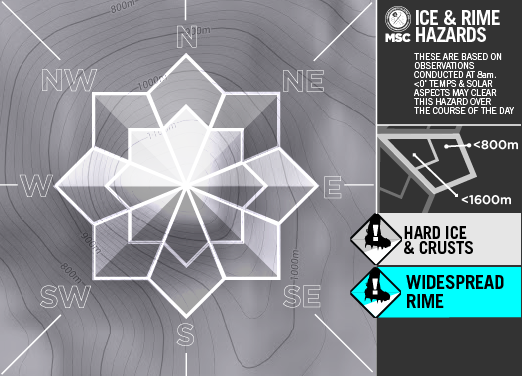
Click to enlarge
IMPORTANT: The following information is provided in good faith. Both the observation and forecasting methods used to provide this summary are not consistent with international standard. They are based in the collective experience of those providing input on the conditions, the hazards and the respective rating if provided. Due to both the spatial and often subjective nature of the observation input available, forecasting is at best an estimate. Understanding, knowledge and practise in self assessment of alpine hazards is crucial to safe backcountry travel in all alpine areas covered here.
CONDITIONS SUMMARY
Observations 10th September.
Lot’s of activity in the mountains at the moment, both people and snow pack. Human Triggered cornice collapses observed, pin wheeling and easy storm slab releases on the Saturday night ‘new snow’, interestingly down low in the trees too. We’ve observed transportation from the southerly and as a result aspects lee to the south are prone to wind slab avalanche at higher elevations, and where transportation catchment areas are vast such as the northern fringes of the Mt Bogong, Bogong High Plains and areas around rocky knobs south of Falls Creek, not to mention the recently well travelled Mt Loch and Machinery Spur areas.

OBSERVED HAZARDS & ACTIVITY
Windslab on aspects lee to the south and west.
Hard packed icy aspects on south and west aspects.

PRIMARY HAZARD: Wind Slab

Secondary Hazard: Storm Slab

Tertiary Hazard
Current Snowpack Conditions
Right now we have 45cm of fresh snow deposited on aspects lee to the west. This has proven to bond well to the previously hard, yet then rain effected crust on which it sits. Within this new snow there is a medium density band mid pack that of denser warmer snow, than the above and below deposition. This seems to be mending slowly with the observed temp gradient at less than +/- 0.5˚ variation over this new snow which is -2˚. From field obs we're getting improving conditions, however unsupported slopes, steep isolated terrain, convex rolls can produce size 1-2 slides.
Sheltered South Aspect 1750m
12pm CT6 SP down 15 on SH. ECTN11 same depth and layer
2pm CT16 RP down 15 on SH no results from ECT.
Transportation: The top 20cm - 45cm has been scoured from aspect south and south east at higher elevations and is consequently deposited as wind slab on aspect lee to this (North and North West) and has its own ‘wind chill’ effect settling at -4˚, and thus providing little in the way of cohesion on the warmer bed surface. Of ‘considerable’ concern are the higher north westerly aspects and cross loaded steeper slopes, previously observed as very hard and unyielding melt freeze crust.
CONDITIONS Outlook
IMPROVING / ONGOING / DETERIORATING
Weather looking pretty charming really, the freeze thaw kicks in again tonight so watch out as the snow morphs from cold dry to corn, and the usual breakable crusts, toffee coatings etc that ensue. By Wednesday we’ll be switching mode into spring conditions, of particular concern will be this recent transported snow on north aspects getting hot and wet quick and sliding as it overwhelms and lubricates the harder old bed surface. We have all the hallmarks of big wet slide season when overnight temps don’t manage a re-freeze.

Mount Hotham RESORT
BACKCOUNTRY CONDITIONS:
A dusting of snow accompanied by very strong southerly winds in the past 24 hrs. The temperatures have remained cold so there has been lots of wind transported snow, so there may be areas of shallow wind slab on aspects lee to the south, especially at ridge top. South facing aspects have been wind buffed or stripped back to the firm base underneath. Protected areas will offer the best turns today. Take Care. BB


