CENTRAL EAST VIC:
RECENT OBSERVATIONS
Updated: 5TH / SEPTEMBER /2018
REPORT CONFIDENCE: STRONG
CURRENT UNTIL: 9th / SEPTEMBER/ 2018
OBSERVATION SUMMARY
TREND: IMPROVING / ONGOING / DETERIORATING
Front Range: Buller / Stirling / BUFFALO
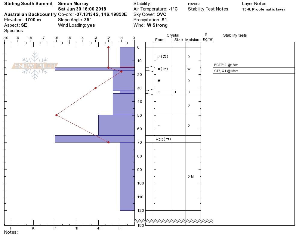
Spring is here, there's plenty of snow. Classic freeze thaw cycle the last few days. There was not the prevalence of wet slides that occurred last weekend further north, although the last field observation indicates the existence of poor cohesion between the new wet and the old hard crust in snowpack. Fine now as it is locked away by the freeze thaw...
OUTLOOK: With rain on the horizon this will come into play again, contingent on wether the rain penetrated the crust of pools and transports, thus weakening the bond again. Particularly with the follow-up warm spell into Saturday. Check for persistent reactive weak layers particularly on solar aspects displaying wind loaded characteristics such as cornices and drifts.
BACK Range: Magdala / Howitt / Viking & Cobbler
We are about to overhaul the entire site given the consistency in field obs between what we will be calling the front and back ranges shortly. For the above areas see below, it will be more relevant.


