NORTH EAST VIC:
RECENT OBSERVATIONS
UPDATED: 14th / AUGUST /2018
REPORT CONFIDENCE: STRONG
CURRENT UNTIL: 17TH / AUGUST/ 2018
OBSERVATION SUMMARY
TREND: IMPROVING / ONGOING / DETERIORATING
CURRENT OBSERVATION:
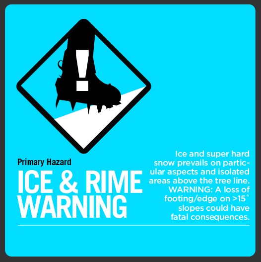
All clear here folks, there's that persistent windward ice shield on all aspects west and north, a punchy breakable crust elsewhere... but it is only a 24hr wait and the mountains will be back in shape, that said tune in for Thursday morning as there will be a heap of wind loaded leeward aspects and the associated windslab warnings are forecasted below.
OUTLOOK: This week is shaping up to get pretty rowdy, Wednesday onwards looks to be bringing some fat precip with a bunch of wind associated with it so if your planning a longer tour as many are over the next fortnight, keep that in check.
Always a big thanks to everyone who is helping make this possible through our membership kickstart and through our merchandise drive. Simon@MSC