CENTRAL EAST VIC:
RECENT OBSERVATIONS
Updated: 11TH / AUGUST /2018
REPORT CONFIDENCE: STRONG
CURRENT UNTIL: 14th / AUGUST/ 2018
OBSERVATION SUMMARY
TREND: IMPROVING / ONGOING / DETERIORATING
Front Range: Buller / Stirling / BUFFALO
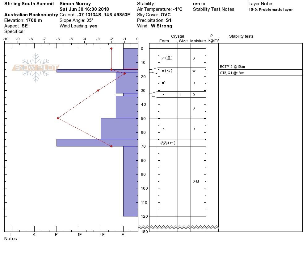
A softening crust with warmer overnight temperatures will now be firming upo again with this dive in temps and a bit of fresh precip, eliminating a horrendous breakable crust on all aspects. This will also yield strong cohesion locking away the super touchy snowpack from the previous storm last Monday/Wednesday.
BACK Range: Magdala / Howitt / Viking & Cobbler
Looks like winter out there. Again, looking at the deposition forecast the conditions out east are likely firmer with wind loading on aspects lee to the north west occurring at the time of this update, no huge concerns aside from the windward ice. Consistent with the north west, click below.


