Date: 26/08/2020
Conditions Summary
In the alpine, there is plenty of wind etched snow on windward aspects and cross loaded features. There are also isolate areas of ice where the storm snow was stripped away during the storm by strong - extreme NW winds.
Great skiing can still be found in sheltered areas.
Alpine Hazards


Sub-Alpine Hazards


Daily Discussion
There are two layers of graupel within the storm snow that continue to react in snowpack tests. It is possible that the slab avalanche reported on Monday (24th) reacted on this layer (see photo below). Evaluate terrain and snow carefully before committing to your line.
With a mostly clear day ahead and forecasted rising temperatures (freezing level up to 2150m), this will be the first day of significant warming since the storm. Caution on steep solar slopes as the warmth may be enough to trigger the weak layers mentioned above.
Confidence: Strong
Avalanche Problems
Primary Problem
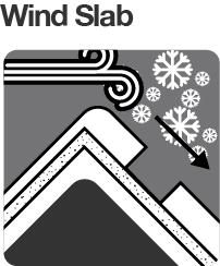
The primary concerns in the alpine are wind slabs and cornices.
Evaluate snow and terrain carefully; identify features of concern.


East Face Tenison Woods Knoll. Natural wind slab avalanche triggered by cornice fall. First reported on 24-08-2020.
(photo: John Klempfner)
We need your eyes too. If you’ve been in the backcountry we’d love to know what you have seen. Every little bit helps.
Weather Summary
Mostly sunny afternoon. Winds west to northwesterly 15 to 25 km/h decreasing to 15 to 20 km/h in the late evening. (Source: BOM)