Date: 13/08/2020
Conditions Summary
A little more of the clear precipitation fell on and off throughout the day yesterday. The silver lining, this softened the skiing in the sub-alpine.
There were no observations in the alpine yesterday.
Alpine Hazards


Sub-Alpine Hazards


Daily Discussion:
The forecast today is not looking very good. It looks like we are in for more wet precipitation. Freezing level is forecasted to be at 2350m and as such, we expect the ‘wet precipitation’ to be… R&!N to the top.
Beware of steep icy slopes. The little bit of precipitation in the alpine will not have significantly changed the widespread ice hazard.
Be prepared for whiteout navigation. Expect low clouds through most of the day.
LOW does not mean NO. Watch for unstable snow in isolated terrain features.
Confidence: MODERATE
Avalanche Problems
Primary Problem
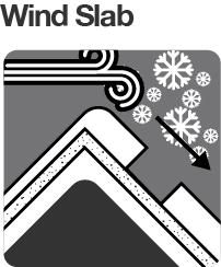
Generally safe avalanche conditions. Watch for unstable snow on isolated terrain features.


We need your eyes too. If you’ve been touring in the Alpine National Park we’d love to know what you have seen. Every little bit helps.
Weather Summary
Mostly cloudy. High (70%) chance of showers, falling as snow above 1800 metres. Winds west to northwesterly 25 to 40 km/h decreasing to 15 to 25 km/h in the late afternoon. (Source: BOM)