Kosciusko NP NSW:
RECENT OBSERVATIONS
UPDATED: 8TH / october /2018
REPORT CONFIDENCE: STRONG
CURRENT UNTIL: 12th / OCTOBER / 2018
OBSERVATION SUMMARY
TREND: IMPROVING / ONGOING / DETERIORATING
CURRENT OBSERVATION:
With a bit of rain last Thursday and a light dusting and some cold overnight temps up high the snowpack is really holding up . As previously observed, the freezes are softening quickly. The North aspects at mid and higher elevations are displaying the characteristics of deep solar penetration. This is deeply rotten snow (dust affected?)… however it’s slumping and consolidating between re-freezes overnight, as opposed to releasing as natural wet slides. Easy skier triggered slurries expected to occur on them without an overnight re-freeze on aspects steeper than 30˚. Similarly a keen eye must be kept for glide cracks that are opening up on all aspects. Some easy results / sluffs occurred on steep wind sheltered South and East aspects (leeward of the divide) which are still very firm underneath. This is on a layer of 1 finger resistance rounded polycrystals from 20cm to 45cm. The Western Faces have hit ‘Open Season’ status with an even cover, fully saturated snowpack, warming early with day temps ahead of solar exposure.
OUTLOOK: There is some snow on the way. It will be coming after rain and delivered on a southerly and south easterly wind direction. A classic spring ‘wrong-un’ that flips things around a little. We will see what happens with this one.


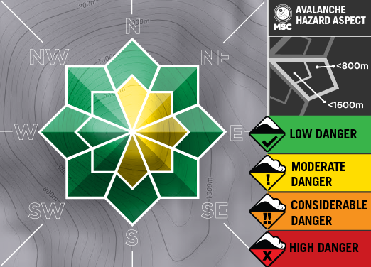
PRIMARY HAZARD: ABOVE 2000M


PRIMARY HAZARD:
FROM MONDAY ONWARDS


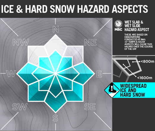
SECONDARY HAZARD

TERTIARY HAZARD

We’ve observed these crrepers from the deep growing everywhere over the last week. Not a huge hazard from the ‘release’ as these are slow moving like a glacier. More like the ‘changed traffic condition’ sign around road works… Keep a keen eye out for cracks as falling into one of these would be nasty, particularly at speed.

The EXTRA Column
The information provided here deviates from the standard reporting format that we apply to the travel advisory. It sometimes shows recent field obs results and images. It is pitched at participants looking for more detail.