Click to enlarge
IMPORTANT: The following information is provided in good faith. Both the observation and forecasting methods used to provide this summary are not consistent with international standard. They are based in the collective experience of those providing input on the conditions, the hazards and the respective rating if provided. Due to both the spatial and often subjective nature of the observation input available, forecasting is at best an estimate. Understanding, knowledge and practise in self assessment of alpine hazards is crucial to safe backcountry travel in all alpine areas covered here.
MAIN RANGE NSW:
RECENT OBSERVATIONS
UPDATED: 9th August 2019
REPORT CONFIDENCE: STRONG
CURRENT UNTIL: 12th AUGUST 2019
CONDITIONS SUMMARY
10am 9/8/2019 Mt Wheatley. 1850m
The new storm snow has brought plenty of instabilities to anything lee to the west. Storm slab and wind slabs are evident and although not propagating yesterday more snow and wind overnight will increase the possibility. Thee is no evidence of any persistent deeper layer, this hazard is associated with new snow pack. It will take time for this new snow to bond to the old firm layer and extra caution is needed on slopes over 30 degrees as much on the up as the down. As hard as it is, avoid convexities and unsupported steeper slopes. Remember 24 hrs for the storm.
We are in the middle of an high risk and consequence avi cycle be smart and patient. DH & KB
8am 9/8/2019 With rapid accumulation overnight and significant ongoing transportation a high wind slab avalanche hazard is current, and building. 60cm+ precipitation event currently with gale force West / Nor West winds is ongoing this morning. Aspects lee to the west where this hazard exists may be prone to naturally triggered slides. Travel with extreme caution, stay clear of leeward aspects and potential avalanche runout zones or terrain traps. Remember sympathetic and natural avalanches are likely to occur. SM
OBSERVED HAZARDS & ACTIVITY
• High Wind Slab Avalanche hazard exists.
• Blizzards conditions forecast.
• Travel in the backcountry not recommended.


CURRENT SNOWPACK CONDITIONS
We have 30cm - 60cm+ fresh snow sitting atop a very firm and in places slick bed surface. This fresh snow has an uneven temperature gradient starting at -3.5˚ in the new snow above the bed surface of -2˚, ranging to -5.5˚ at the top. These number alone are cause for alarm. Density variation and poor cohesion both in the fresh snow pack and to the bed surface likely.
PRIMARY HAZARD: WIND SLAB
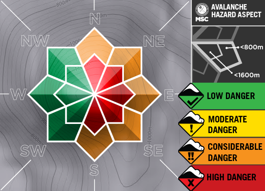
Secondary Hazard: ICE & RIME

TERTIARY Hazard: STORM SLAB

ALPINE WEATHER
Blizzard conditions ongoing. Continued cold westerly airflow will prolong the avalanche problem and expect a persistent slab problem to develop over the 5 days.
CONDITIONS Outlook
IMPROVING / ONGOING / DETERIORATING
Continued precipitation and existing windslab hazard on aspects to the west, changing through transportation to south and west by Sunday.

Scheduled Observations

MT TATE & GUTHEGA TRIG AREA
BACKCOUNTRY CONDITIONs:
SnowSafety.com.au 14/07/2019
Did some digging on a South East aspect @ 1725m.
Snowpack depth 96cm.
Had Medium results on hand shear tests from 1680 to 1800m. These all failed on the layer @30cm with planar and break results.
Strong temperature gradient in the top 20cm of the snowpack.
The snow pack has a 6cm wind slab layer on the surface.
We were getting Medium CT results at 20cm and 57cm
see results below
CTM 14 SP @ 20 cm on Wind slab / new snow interface.
CTM18 SP @ 57 on interface between June 9th event and melt freeze layer
Layer of concern is the interface at 20cm.


