NORTH EAST VIC:
RECENT OBSERVATIONS
UPDATED: 16TH / JULY /2018
REPORT CONFIDENCE: STRONG
CURRENT UNTIL: 19th / JULY / 2018
OBSERVATION SUMMARY
TREND: IMPROVING / ONGOING / DETERIORATING
OBSERVATION:
The consistent cold temperatures have created a solid snow pack. BC skiing has been not so enjoyable but challenging.
OUTLOOK:
A few cm of fresh snow yesterday have created a nice change but more is on the cards for Tuesday eve. The forecast is for a little warming before the snow arrives and , fingers crossed, will bond well with the pack.
Always a big thanks to everyone who is helping make this possible through our membership kickstart and through our merchandise drive. Simon@MSC


PRIMARY HAZARD


PRIMARY HAZARD
(forecast till 19th July 2018)
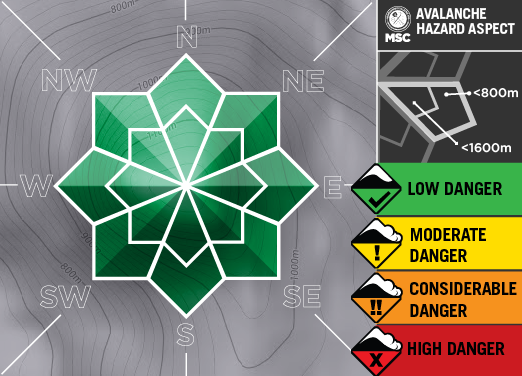
As we don't know how the bond will turn out nor how much is going to fall the primary hazard will be Caution once precipitation arrives. Status Quo is Low Avalanche Danger, but will change to unknown/considerable.

Weather Models
Snowpack Assessments
The schedule for stability assessment reports will be Mondays. Locations are on or above tree-line and generally South East aspect, although this is conditions dependent.
