NORTH EAST VIC:
RECENT OBSERVATIONS
UPDATED: 13TH / JULY /2018
REPORT CONFIDENCE: STRONG
CURRENT UNTIL: 16th / JULY / 2018
OBSERVATION SUMMARY
TREND: IMPROVING / ONGOING / DETERIORATING
OBSERVATION:
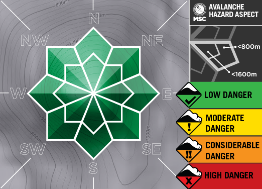
The sunny weather has created some good conditions on sun affected slopes. With the top 30mm hardening over night and cold non consolidated snow underneath. On a NE Slope below Mt.Loch at 1820m 29-35deg the snowdepth is 55cm, CT5BP@20cm .
In the lee of N/NW snow deposits from the storm are around 30-50 cm. totalling a snow depth of around 130 cm. This new snow sits on the crust of the pre frontal rain event. RP 15@35cm
.
OUTLOOK: High pressure , good visibility and the melt freeze will dictate conditions for the near future. We will be looking forward to the next FROTH Event (tues/wedn)and keep you posted!
Always a big thanks to everyone who is helping make this possible through our membership kickstart and through our merchandise drive. Simon@MSC


PRIMARY HAZARD


PRIMARY HAZARD
(forecast till 16th July 2018)
Before dropping in check that surface has softened otherwise you are dealing with a breakeable crust in variable thickness. Non sunaffected slopes are consistently hard.

Weather Models
Snowpack Assessments
The schedule for stability assessment reports will be Mondays. Locations are on or above tree-line and generally South East aspect, although this is conditions dependent.
